By the end of 2016, there will be more than 2 billion smartphones in use throughout the world, and all of them contain technology that represents a potential hazard for military forces in combat zones.
Every phone has a camera, and those cameras are used to take large numbers of photographs – the selfie (photographs taken by phone users of themselves with others) has become a 21st-century phenomenon. Go to any tourist attraction, any music event or party, any family gathering, and you’ll see people holding up their phones, taking pictures of themselves with friends, or themselves posing with a famous building or landscape in the background.
Vast numbers of these images are uploaded to social media sites, and some idea of the sheer scale of these uploads comes from the people who run Facebook. They say that, on average, Facebook users upload 300 million images every day.
What many people don’t realise is that every time their phone’s camera is used, the location is recorded and embedded in the image by the phone’s GPS software – it contains the precise latitude and longitude of the phone when the picture was taken. Upload the photo to Facebook, or another social media platform and you are also uploading that GPS location information.
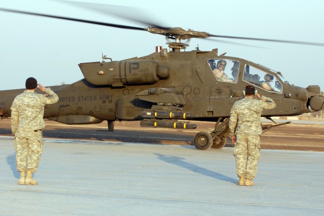
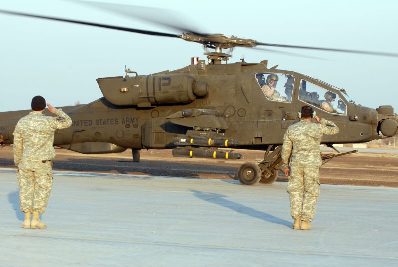
For most people this represents no problem – they wouldn’t worry that the information is in the image file – but in some situations, this can be dangerous or even life-threatening. This came starkly into focus in 2007 when a fleet of new H-64 Apache helicopters arrived at an American airbase in Iraq.
Celebrating their arrival, some troops took photographs of the helicopters and uploaded them to social media sites. Little did they know that terrorists were able to extract the location data – called Geotags – and use it to launch a surprise mortar attack. Four Apache helicopters were completely destroyed in the attack.
American forces were subsequently warned that they should disable the geo-location facilities on their phones, or stop taking any photographs while in operational locations.
Several years later, in 2011, this type of what is called ‘low-end cyber warfare’ was used to fool senior British military officials when they were persuaded to become Facebook friends with NATO’s Supreme Allied Commander Europe. It later transpired that the Facebook account was a fake, probably set up by Chinese sources to gain sensitive information.
Technological advances can be a mixed blessing in some circumstances.
