The city of Tyre was founded around 2750 BC, and initially, it consisted of two parts. Tyre existed on an island that was thus separate from the mainland, where a settlement named Ushu existed.
This natural seaport was important from a commercial and strategic viewpoint, and it was overrun and occupied by almost every dominant European culture through the ages. In 332 B.C. it was the turn of Alexander the Great to conquer this city.
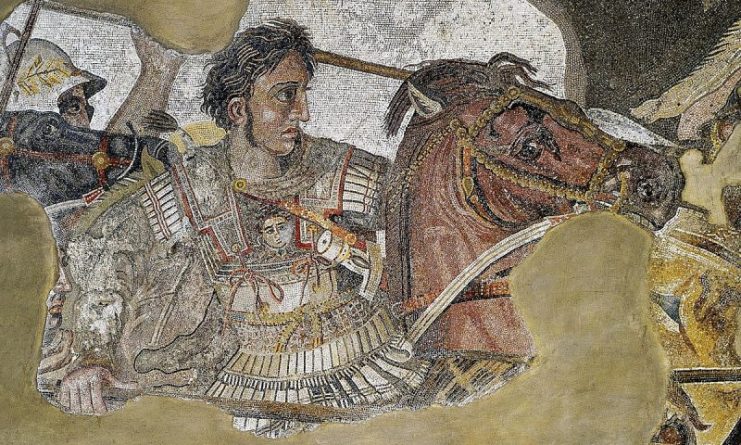
Over 2,000 years ago, Alexander set out to conquer the known world, and as he marched from Macedonia toward Egypt, all the major cities that he passed fell to his sword. When he reached the city of Tyre, his onward march ground to a halt for a short while as he pondered the question of how to overcome and occupy this city in its entirety.
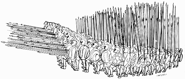
Holding the portion that lay on the mainland was no problem for Alexander and his mighty war machine, but the island of Tyre off the coast presented an entirely new challenge for Alexander and his generals to solve. He could not move on leaving this island unoccupied as it introduced an unacceptable entry to his rear, so he had to occupy the island.
For a long time, scholars have been unable to work out how Alexander managed to gain entry to the island, but new research along with geological findings and computer models show how this very able commander managed to reach the island port.
The leading scholar on the project, Nick Marriner from the French University of Aix-Marseille, said in an interview with LiveScience that at the time of Alexander the Great, building a bridge out to sea would have been an almost impossible engineering challenge, so Alexander must have arrived on the island in some other way.
Marriner and his team drilled core holes into the current peninsula of Tyre (which is now called Sour) and studied the layers of sediment that were to be seen in the cores. Careful examination of the cores showed the changes that took place in the sediment due to coastal activity over the last 10,000 years. This allowed the researchers to build a computer model that used the data collected from the study of the core samples to portray the tidal and current patterns for that period.
One thing that came to light was the fact that around 3,000 years ago deforestation increased on the island to allow for the development of agriculture. This deforestation caused the top layer of sediment to run off into the sea.
Data from the core samples show clearly that on the sheltered side of the island this sediment collected to create a long, thin sandbar between Tyre and the mainland. The creation of this sandbar was helped by the slowing in the rise of sea levels that started around 4,000 years ago.
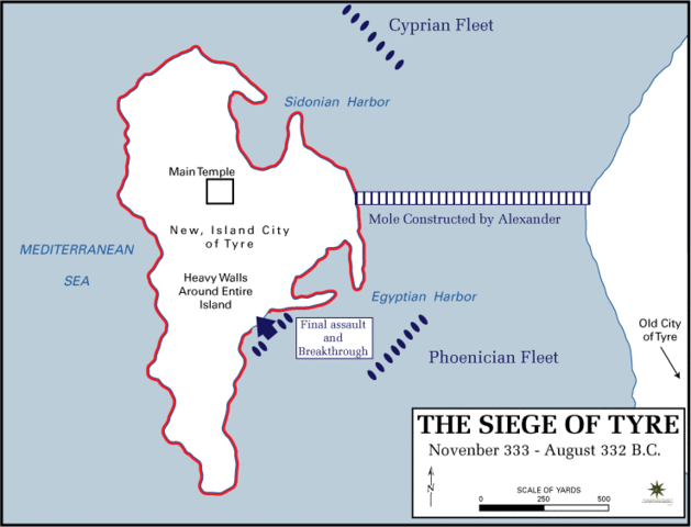
It is this thin sandbar that Alexander and his engineers exploited to create a causeway or road between the mainland and Tyre. When Alexander arrived, his engineers found this sandbar that extended almost to the mainland and existed under one to two meters of water.
Alexander’s engineers built a causeway by piling up timber, stone, and rubble on the sandbar. They would have had to work from the mainland end only, and this would have been a formidable challenge at the time.
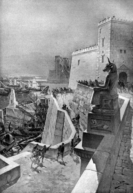
Alexander and his army persevered, and after a siege of seven months, Alexander marched at the head of his army over his causeway toward the island of Tyre. However, it was not from the causeway that the breakthrough of the island actually occurred, but it did serve to attract attention and resources away from where the breach in Tyre’s defenses did come.
The experience gained in building this causeway was then used later by his engineers to create the causeway from the Island of Pharos to the Egyptian mainland.
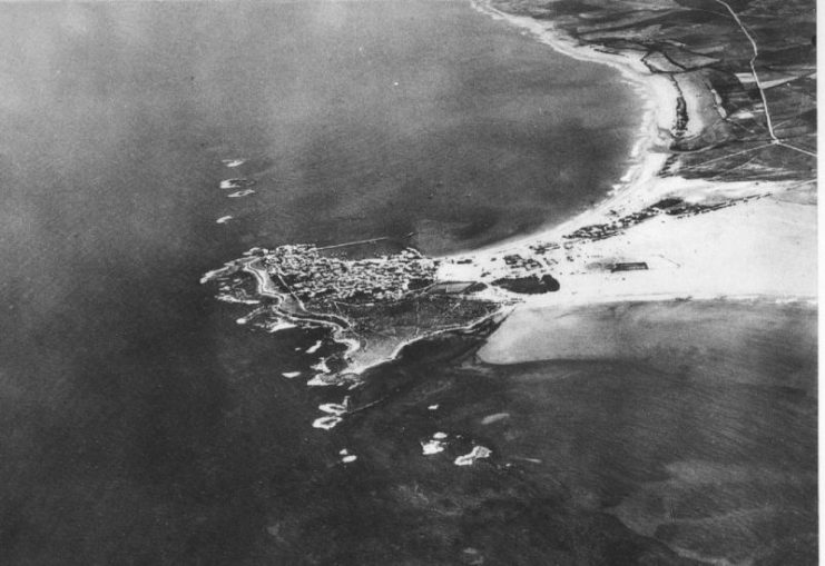
Scientists speculate that at its peak the causeway would have averaged some 200 Greek feet in width (approximately 65 yards). The causeway that Alexander built had a long-lasting effect on the seas around the island. On either side of the causeway, bays were formed that slowly silted up as there was no current to pull the silt away as the flow of water had been interrupted by the causeway.
This resulted in around 700,000 square feet of new land being created, which is the broad peninsula that is so well known today.
The full story and the detailed findings of the study have been published in the journal, ‘Proceedings of the National Academy of Sciences.’
Want to become a trivia master? Sign up for our War History Fact of the Day newsletter!
While this siege is not a significant act in terms of history, it is a considerable feat in terms of the engineering required to build this considerable causeway at that time. They would not have had the use of modern machinery, so this would have been achieved mainly with animal and human power. A remarkable engineering feat from the ancient world that allowed Alexander to show off his military and engineering muscle.
