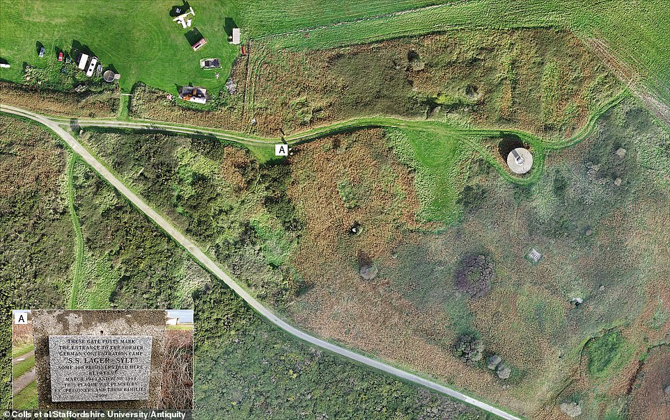
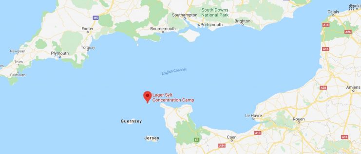
Researchers are studying a Nazi concentration camp on the island of Alderney for the first time since World War II. They are discovering details about the site and the acts committed against the prisoners by their captors.
Alderney was the site of the only concentration camps located in Britain during the war.
Archaeologists have been using ground-penetrating radar to find the remnants of over thirty structures at Sylt, the most notorious of the camps. The camp was run by the Schutzstaffel (SS) beginning in 1943.
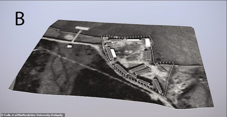
Something new that the team discovered is a tunnel that ran from the bathhouse used by the soldiers to a villa outside of the camp where the camp’s commandant lived.
Researchers are not certain of its purpose but believe that soldiers may have snuck women in to the camp for a brothel.
The team has also located barracks, kitchens, toilets and bathhouses which were used by the prisoners and by the SS guards. They have also found the gateposts and remnants of the perimeter fence.
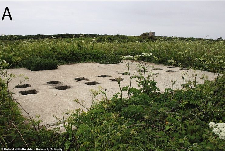
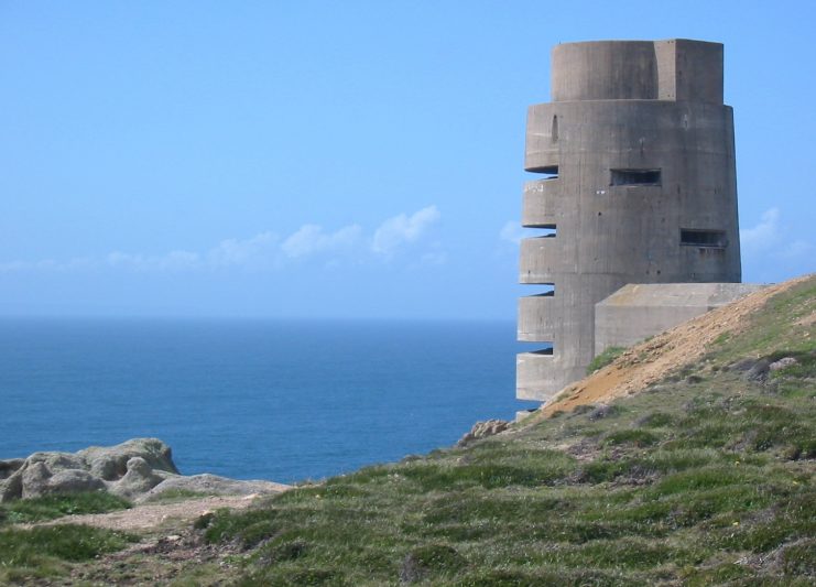
There are still a few remaining structures that are visible without the radar. A horse trough and an orderly used by the SS and believe to have been built by slave labor are among the structures you can still see today. The team was more interested in finding the structures that are no longer visible.
Using non-invasive methods, the archaeologists were able to map out the camp and identify key structures. They were able to illustrate how the camp grew in size from a small forced-labor camp to a full death camp run by the SS.
The team identified 32 features of the camp. They found five structures used by the SS, two that were built for the commandant’s use, and twenty-one that were constructed for the prisoners.
Survivors recorded the difficulties of living in the camp. Before becoming a death camp, prisoners were assigned to labor companies and forced to work in heavy construction for twelve hours a day. During this time they were undernourished and not provided adequate clothing.
Prisoners were given a cup of black coffee for breakfast, a thin soup and a loaf of bread (which was split between five prisoners) for lunch and a thicker soup with butter for dinner.
The camp was run by the Organization Todt (OT) for two years. The OT was the Nazi group responsible for supplying labor to the Third Reich. After this time, the camp was handed over to the SS.
Prisoners were not provided with medical treatment. If they could walk, prisoners were occasionally allowed to walk to the hospital in Norderney.
Good to see lots of coverage of the recent analysis by Professor Caroline Sturdy Colls of the only SS concentration camp on British soil – Lager Sylt on the Channel Island of Alderney. https://t.co/sesY2gfDBZ
— Guy Walters (@guywalters) March 31, 2020
Between August 1942 and January 1943, 20% of the prisoners at Sylt died. When a prisoner died, the SS provided the doctor at Sylt with a pre-printed death certificate that stated the cause of death was either “faulty circulation” or “heart failure.”
Sylt was divided into two sections. One section was for the prisoner and the other was for the SS troops. They were separated by a stone wall.
The research team was led by a group from Staffordshire University. They used lidar and geophysical survey data to find man-made structures underground.
A digital map was created from the data. There were no excavations done at the site.
https://www.youtube.com/watch?v=p3zsc3WOcLE
The team then used historical blueprints of Sylt to understand the purpose of the structures they found at the site.
The team discovered that the prisoners’ buildings left shallow depressions were they had stood while the soldiers’ buildings left much deeper depressions. This is an indication of the higher quality construction used on the soldiers’ buildings compared to the prisoners’ buildings.
The prisoners’ buildings were all destroyed by the Nazis in 1944 as the Germans tried to hide all evidence of the camp.
Mechanic ‘Accidentally’ Fires Vulcan Cannon & Obliterates F-16 Sitting on the Runway
The Nazis occupied the channel islands starting in 1940 when the British found it too expensive and difficult to defend them. British citizens were evacuated to the mainland.
